When the sea leaps the walls of Saint-Malo
Updated on 26 October 2026
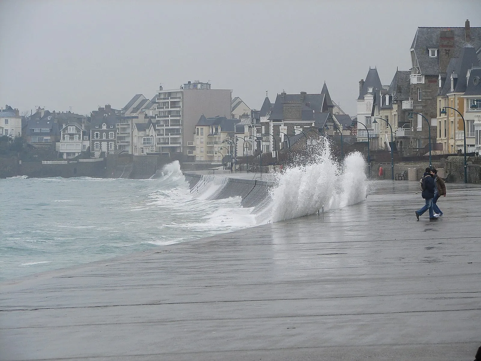

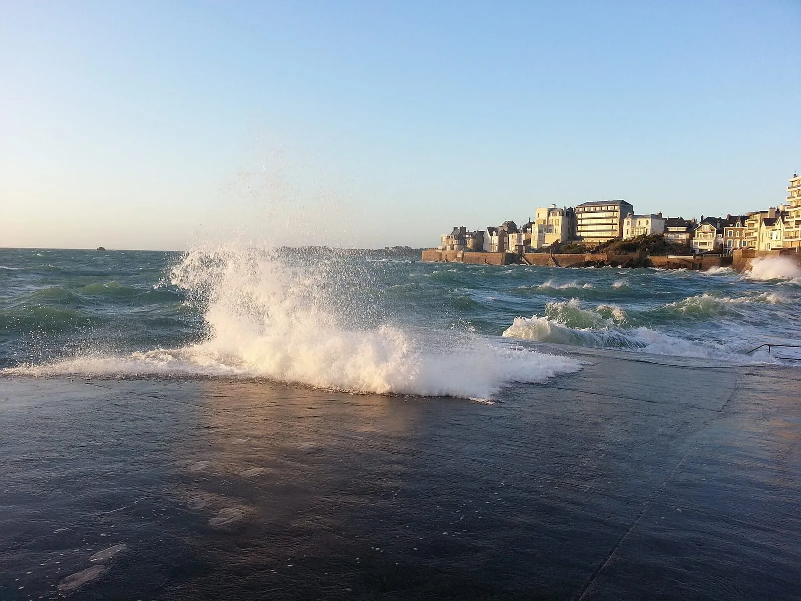
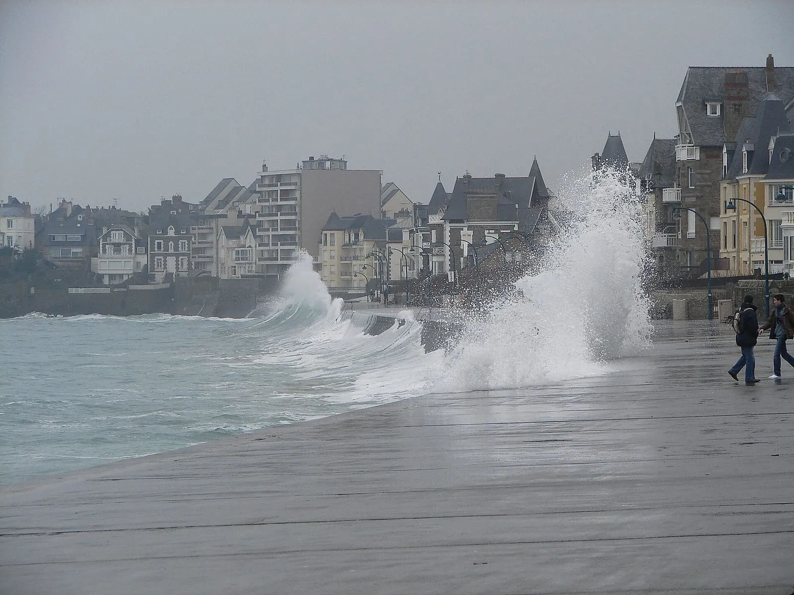
It is the image that goes around the world with every big storm: columns of white water climbing vertically above the Sillon sea wall and crashing down on the promenade. Locals say the sea “leaps” (la mer saute). Yet there is nothing automatic about it: a big coefficient, a formed swell and a driving wind must all meet at the same high water. This page explains when and how to watch for it, and where to do so without putting yourself in danger.
The three ingredients of the show
The coefficient first. From about 95–100, high water reaches the top of the sea wall: that is the foundation of the show, and it can be predicted years ahead with the spring tide calendar.
Then the swell. Without swell, even a coefficient of 110 gives a high, glassy sea that laps at the wall without crossing it. You need a swell built up offshore, from the west or north-west, for each sea to strike the wall and explode upwards.
Finally the wind. An onshore wind from the westerly quarter piles the water up, drives the swell against the wall and carries the spray over the top. It is the wind that turns handsome plumes into genuine walls of foam.
The coefficient dates are known; swell and wind only firm up a few days before the event. That is precisely what our “will the sea leap?” index combines. It appears at the top of this page as each spring tide approaches.
Why the Sillon, precisely
The stage is not interchangeable. The Sillon sea wall protects the narrow isthmus that ties the walled city to Paramé, a causeway won from the sea, facing due north-west into the open Channel. In front of it, the beach rises in a gentle slope: when the high water of a big coefficient covers the whole foreshore, each wave arrives on a bottom that drops away abruptly against a vertical wall. The energy has only one way out: upwards. Straight wall, open sea, giant tidal range: that geometry makes the Sillon the stage of the show. In front of the wall, the oak breakwaters are the only things that hold the front row.
The same mechanism plays out, in more concentrated form, on the Rochebonne slipway in Paramé and on the môle des Noires at the harbour mouth: the two places where the spray climbs highest, and where you must never stand in heavy weather.
When to try your luck
The useful window is short: roughly one hour either side of high water, twice a day. Outside it, the sea is simply too low to reach the wall, whatever the weather. Check the official SHOM tide times before setting out.
Across the year, the best odds cluster around the equinox spring tides of March and September, and above all the autumn and winter episodes, when Atlantic depressions send in swell: a coefficient of 95 under a westerly blow in November often beats a 105 in flat April calm. In summer the phenomenon is rare, and the bay is worth seeing for other reasons.
Following an episode, from a week out to the day itself
A week out, the weather models start to see the depression: watch the swell and wind forecasts on your usual app. What matters is a west to north-west swell that keeps building, and wind from the same quarter.
Two or three days out, the forecasts become reliable: our “will the sea leap?” index then appears at the top of this page, episode by episode, crossing coefficient, swell and wind. It is an estimate, not a promise.
On the day, two checks: the exact time of high water against the official SHOM tide times, and a glance at the Sillon webcam further down this page to judge the state of the sea live before you set out. If the sea is already leaping at half-tide, high water promises to be even stronger, and the rooms facing the wall become the best seats in town.
Where to watch, and where never to be
The best posts are high up and set back: the ramparts of the walled city facing Fort National, the town side of the Sillon promenade, or a seafront hotel room on a stormy evening. Our page of spring tide viewpoints reviews them all, from the breakwater to the headlands of the bay.
Some places, on the other hand, are unforgiving: the sea wall itself around high water, the môle des Noires in heavy weather, the slipways and beach stairways. A wave that clears the parapet sweeps its full width, throws shingle, and is enough to carry an adult away. The leaping sea is a show you watch from a safe distance, behind shelter. That is the one rule, and it admits no exception, not even for a photo.
Written and kept up to date by a Saint-Malo local in love with this coast. The story behind this guide



The next spring tides
- 27 – 29 October 2026100autumn
- 25 – 27 November 202697autumn
- 25 – 27 December 202699winter
See the full spring tide calendarAdd these dates to my calendar (.ics)
Dates and coefficients are indicative. Always check the official SHOM tide times before heading onto the foreshore. Official tide times (SHOM) ↗
Will the sea leap the wall?
Waves over the Sillon sea wall: our index for 27 – 29 October 2026
Show unlikely
The sea will most likely stay calm along the wall on this date. The spring tide is still a great sight at low tide.
What drives this index
- Tide coefficient100
- Swell (significant height)1.1 m (W)
- Swell period5 s
- Wind42 km/h (S)
Best window of the episode: 27 October 2026. Index computed on 26 October 2026.
A qualitative, heuristic estimate, not a guarantee: nature does what it wants. Swell and wind forecasts: Météo-France (Licence Ouverte).
The Sillon sea wall, live
The Thermes Marins webcam on the seafront shows the actual state of the sea on the wall. It completes the tide calendar and the index above.
Official stream: Thermes Marins de Saint-Malo · Vision-Environnement.Watch on YouTube ↗·Thermes Marins webcam page ↗·Other webcams around the bay ↗
Frequently asked questions
When does the sea leap over the wall in Saint-Malo?
Around high water on a spring tide, roughly the hour before and the hour after, when a high coefficient meets a formed swell and a west-to-north-west wind. All three conditions must line up: the big-coefficient dates are known years ahead, but swell and wind only firm up a few days out. That is exactly what our 'will the sea leap?' index summarises.
Does a coefficient of 110 guarantee spectacular waves?
No. In calm weather even a very big coefficient produces a high but perfectly smooth sea that laps the wall without crossing it. It is the swell and the wind that make waves explode against the parapet. Conversely, a middling coefficient with a heavy westerly swell can already send sheets of spray over the top.
Can you know weeks in advance whether the sea will leap?
No, and be wary of anyone who claims otherwise. The coefficients are known years ahead, but swell and wind can only be forecast reliably a few days out. The sound method: set your dates on a calendar episode, then watch the forecasts and our index over the final week. The index remains an estimate, never a guarantee.
Where can I watch the waves safely?
From high up and set back: the ramparts of the old town, sheltered windows and terraces on the seafront, or well back on the town side of the promenade. Never on the sea wall itself, never on the môle des Noires or the slipways in heavy weather: a single wave is enough to sweep an adult away. Our spring-tide viewpoints page details the good spots.
Is the show dangerous?
Yes, if you get too close. Every big storm catches walkers out with a sheet of water sweeping the parapet. Breaking seas throw shingle as well as spray. The rule never changes: watch from a safe distance, behind shelter, never turn your back on the sea, and keep children well away from the parapet. The show is every bit as impressive from the ramparts.