Route du Rhum 2026: getting there, parking and transport
Updated on 25 October 2026
.jpg)
The Route du Rhum village sets up around the Vauban and Duguay-Trouin docks, at the foot of the ramparts. Reaching it is easy eleven days out of thirteen, and a sport at weekends. Here is what holds at every edition, then the 2026 arrangements published by the city and the MAT bus network.
After Storm Austen (update of Sunday 25 October). DFDS has cancelled Sunday’s crossings between Saint-Malo and Jersey; service is due to resume on Monday 26 October, weather permitting. Nothing has been published about the end of the MAT bus diversions or about train services: check the MAT and TER BreizhGo websites.
What is certain, whatever the edition
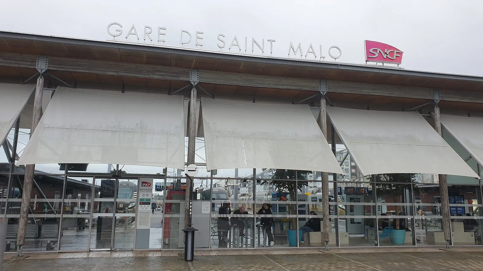
The train: the calmest option. Saint-Malo station is about fifteen minutes’ walk from the docks; the regional line runs direct to Rennes, with TGV connections to Paris and beyond. On peak days, it is the one route with no traffic jam and no car park.
The Dinard–Saint-Malo sea shuttle: a crossing of around ten minutes between the Cale de Dinan, below the ramparts, and the Promenade du Clair de Lune in Dinard (with departures from the Cale de la Vallée too). In 2026 it runs every day until 1 November, then again from 7 to 15 November. Precious if you are staying in Dinard or want to avoid driving around the Rance on busy days.
The bike: Saint-Malo and its surroundings suit cycling well, and two wheels get through where cars will not. Bring a solid lock: crowds attract opportunists too.
The car: workable on village weekdays, aiming for the outer car parks and finishing on foot or by local bus. At weekends, and all the more on start day, expect saturated roads and closures around the harbour.
Wherever you are coming from
From Paris and beyond: rail remains the safest bet, with direct TGVs or a change at Rennes depending on the timetable, and the station a quarter of an hour on foot from the village. From Brittany and Normandy by car: aim for a weekday morning arrival, park on the outskirts and finish by local bus or on foot. The MAT network serves the station and the seafront. By air: Dinard-Pleurtuit airport is a quarter of an hour’s drive away on the left bank. Handy too for reaching a Dinard base directly, then crossing by sea shuttle.
The 2026 arrangements, as announced
The city of Saint-Malo and the MAT bus network have published their plan, with MAT adding detail on 18 September. Three things to know.
Two park-and-ride shuttle buses, every fifteen minutes, from 9 am to 11 pm:
- P1: Paul Féval park-and-ride → Avenue Louis Martin;
- P2: Croix Désilles car park → Rocabey / Sous-Préfecture.
Parking there costs €10 per day per vehicle; the shuttle is free on presentation of your parking ticket, for up to five passengers, and reserved for users of these two car parks. Motorhomes have two dedicated car parks at €15 per day (served by line 5 at the Guymauvière and Restos du Cœur stops). This is the option to choose: it avoids the restricted zone altogether.
A restricted zone covering Intra-Muros and the Sillon. From 20 October to 1 November, between 10 am and 8 pm (10 pm on some days), only vehicles holding a permit issued by the city may drive there. If you are staying inside the perimeter, arrange it in advance. And if your car is parked there without a permit, move it before the scheme starts.
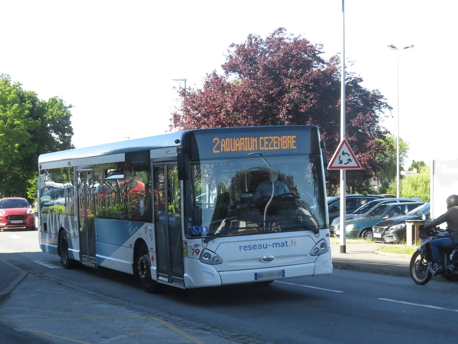
Extended bus services. The town routes run later into the night while the village is open: line 1 from 5:30 am to 2 am, lines 2 and 3 until 1:30 am. The village has two entrance stops, Avenue Louis Martin (lines 2, 8 and 8g) and Sous-Préfecture (lines 3, 5 and 9); the Intra-Muros stop is transferred to these two stops, and line 2 no longer serves Rocabey and Duguay-Trouin. Five temporary routes, numbered 10 to 14, link towns in the area (Le Tronchet, La Fresnais, Plerguer…) to Saint-Malo station from 9 am to 11:30 pm. The full detail is published on reseau-mat.fr. A dedicated accessible shuttle links the railway station to the Esplanade Saint-Vincent every thirty minutes, from 10 am to 10 pm, free for the passenger and one companion.
Still to check: any extra rail services, which will be listed on the TER Bretagne website. Beware of previous editions’ traffic plans circulating online: they do not apply to 2026.
Start day
Sunday 1 November concentrates every constraint. That day, MAT buses run to their public holiday timetable, and some lines (6, 8 and 8g) do not run at all. For the rest, read where to watch the start and choose your viewpoint according to your transport, not the other way round. One simple rule: on that day, every kilometre by car is a gamble; everything that can be done on foot, by bike, by train or by boat should be done on foot, by bike, by train or by boat.
Written and kept up to date by a Saint-Malo local in love with this coast. The story behind this guide


Frequently asked questions
Where can I park for the Route du Rhum 2026 village?
At the Paul Féval (P1) and Croix Désilles (P2) park-and-ride sites: €10 per day per vehicle, with a free shuttle to the village every 15 minutes from 9 am to 11 pm, reserved for their users on presentation of the parking ticket (up to five people). Two motorhome car parks at €15 per day are served by bus line 5. Nearest the docks, parking is saturated, and Intra-Muros and the Sillon become a permit-only restricted zone.
Can I reach the village by train?
Yes, and it is the simplest option: Saint-Malo station is about fifteen minutes' walk from the docks where the village sets up. Saint-Malo has a direct regional rail link with Rennes (TGV connections).
Does the Dinard–Saint-Malo sea shuttle run during the event?
Yes. The Compagnie Corsaire water bus runs daily from 28 March to 1 November 2026, start day included, then from 7 to 15 November; there are no crossings from 2 to 6 November. Allow around ten minutes between the Cale de Dinan, below the ramparts, and the Promenade du Clair de Lune in Dinard. Check the timetable on the operator's website before you travel.