Mont-Saint-Michel from Saint-Malo, to the rhythm of the bay
Updated on 26 October 2026
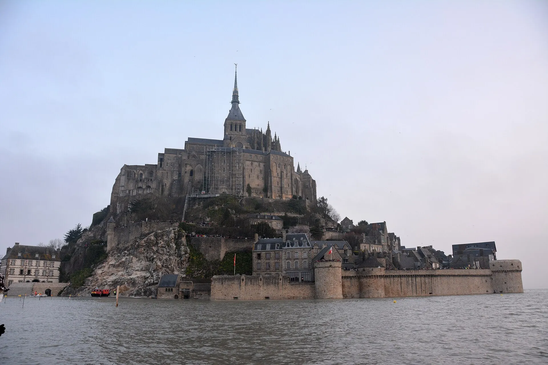

From the ramparts of Saint-Malo you can make out its silhouette on a clear day, far across the bay. Mont-Saint-Michel is the obvious excursion of any Saint-Malo stay (barely an hour’s drive), and also the worst-prepared one: the wonder lives by the tides, and a visit timed to the right hour tells a completely different story from a visit left to chance.
Getting there: car, coach or day tour
By car, allow about an hour along the bay road; you park on the mainland car parks, then take the free shuttles or walk thirty-five minutes to the Mont’s gates. By coach, services and day circuits run from Saint-Malo depending on the season. Check current timetables with the operators. By organised tour, the day trips departing from Saint-Malo usually chain Cancale and the Mont, transport and visiting time included, the simplest car-free option.
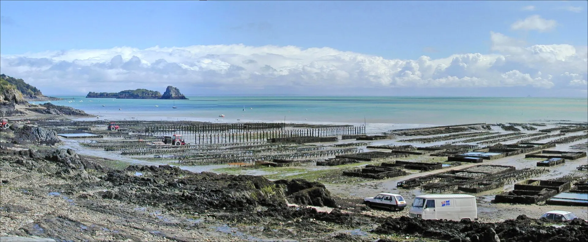
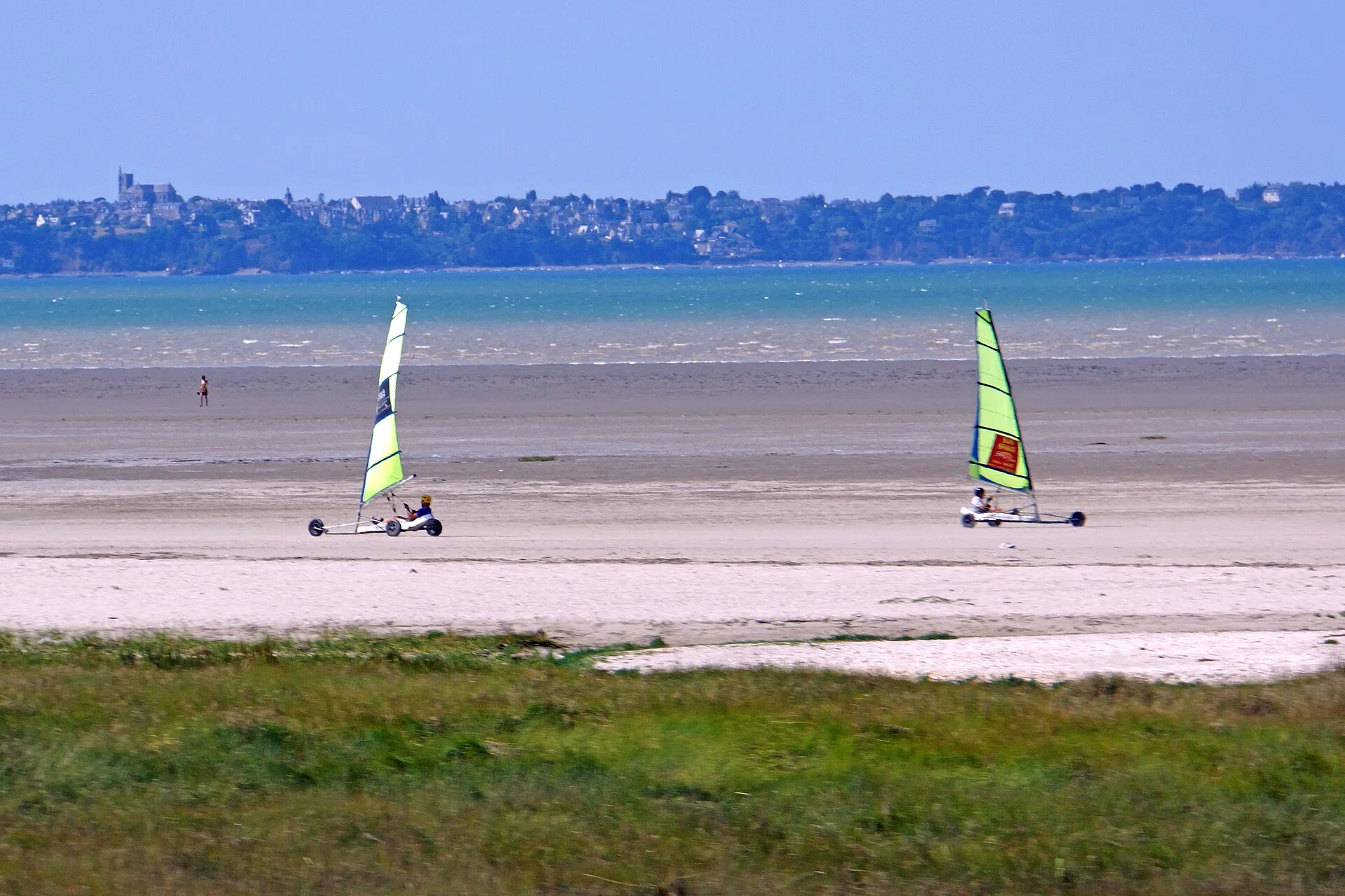
The journey itself deserves care: along the coast you string together Cancale and its oyster beds, the shoreline road from Le Vivier-sur-Mer to Cherrueix, Mont-Dol and the cathedral of Dol-de-Bretagne, all mapped on our interactive map, under the “Day trips nearby” layer.
Timing your visit: the Mont changes with the tide
The bay of Mont-Saint-Michel lives the same spring tides as Saint-Malo, only more spectacular still: the sea withdraws more than ten kilometres, then returns at the pace of a fast walker. On the very biggest coefficients, the Mont becomes an island again for the length of high-water slack: the great moment, watched from the Mont’s ramparts or from the Grouin du Sud on the Norman shore. Spot the episodes in the spring tide calendar, then check the day’s high water time against the official SHOM tide tables before setting your schedule. At low water, by contrast, the bay uncovers its desert of sand, and the abbey rises over a lunar landscape.
The model day, set to the tide
The right plan is built backwards, from the hour of high water at the Mont. If high water falls at midday (the ideal case), leave early by the coast road: Cancale’s oyster beds uncovered on the ebb, a stop at the Vivier-sur-Mer mussel stakes, arrival at the Mont an hour before slack to watch the flood close the ring from the ramparts. In the afternoon, the abbey while the sea falls away, then the drive out across the flats in the evening light. If high water comes early, reverse it: Mont first, bay after. If it comes late, keep the Mont for the end of the day: the encirclement at sunset, out of season, is the finest moment in the whole bay.
Two classic traps to avoid: aiming for high water without checking the day’s exact time (it shifts by nearly an hour a day, and only the official SHOM tables count) and underestimating the thirty-five minutes between the car parks and the gates, shuttles included at busy hours.
Crossing the bay, accompanied only
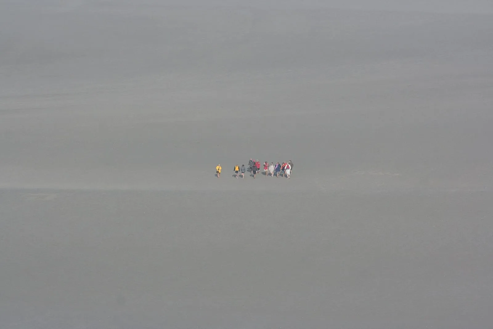
Walking the sands to the Mont is an experience that stays with you, and a strictly supervised one: quicksands, channels that move with every tide, sudden fog and an encircling flood. The crossing is only ever made with a certified guide, departing in particular from the Bec d’Andaine at Genêts, at a time set by the day’s tide. Never venture onto the bay’s flats alone, even for a few hundred metres: this is the most treacherous ground on the whole coast, and rescues here are routine.
Written and kept up to date by a Saint-Malo local in love with this coast. The story behind this guide

_(7190953138).jpg)
.jpg)

The next spring tides
- 27 – 29 October 2026100autumn
- 25 – 27 November 202697autumn
- 25 – 27 December 202699winter
See the full spring tide calendarAdd these dates to my calendar (.ics)
Check the official tide times on maree.shom.fr ↗
Frequently asked questions
How long does it take to get to Mont-Saint-Michel from Saint-Malo?
Allow about an hour by car along the bay road, parking on the mainland car parks then a free shuttle or a walk to the Mont. Coaches and organised day tours also run from Saint-Malo in season. Check the current timetables with the operators, as they change through the year.
Can you see Mont-Saint-Michel become an island again?
Yes, on the very biggest coefficients: the sea then completely encircles the rock around high water, before the eyes of the crowds on the ramparts. The phenomenon lasts only as long as slack water and happens a few days a year: spot the episodes in our calendar, then check the day's high water time against the official tide tables.
Can you walk across the bay of Mont-Saint-Michel?
Only with a certified guide: the bay combines quicksands, shifting channels, sudden fog and a flood tide that returns at walking pace. Guided crossings leave in particular from the Bec d'Andaine at Genêts, timed to the day's tide. Never venture onto these flats alone, even for a few hundred metres.
Should you book the abbey in advance?
In season and on spring tide days, yes: the abbey caps entries by time slot, and the on-site ticket queue can eat the very high-water window you came for. Book online for the hour that completes your tide plan: abbey at half-tide, the Mont's ramparts at high water, for instance.
On a spring tide, should you go to the Mont or stay in Saint-Malo?
The two combine very well in a single day: high water at the Mont (the island encircled) and low water in Saint-Malo (the foreshore and the islets), or the reverse, the tide times are close on the two shores of the bay. The coast road through Cancale, Le Vivier-sur-Mer and Cherrueix turns the drive itself into a discovery route around the bay.