Two days in Saint-Malo: an itinerary built around the tide
Updated on 23 September 2026
.jpg)
Most Saint-Malo itineraries use the wrong unit of time. They split the day into morning and afternoon, when here it is the sea that does the splitting. The Grand Bé, the Fort National, the Bon-Secours sea pool, the foreshore: all of it opens and closes twice a day, shifting by about fifty minutes from one day to the next.
So here are two days built the other way round — tide first, everything else after. It is the only way to avoid reaching the Grand Bé and discovering you can no longer cross.
Before you go: the one thing to check
Look up the high and low water times for your two days, and write them down. Nothing else is needed to plan. They are official figures published by the SHOM, and you will find them on our tide times page.
The basic rule: the two hours either side of low water are the window for the islands and the foreshore; the hour either side of high water is the one for the spectacle, especially on a high coefficient. In between, the town.
If your dates happen to fall on a spring tide, the trip changes character altogether — that is the subject of our spring tide weekend page, which helps you choose the dates rather than work around them.
Day 1 — the walled city, and the first island
On arrival: walk the ramparts. An hour on foot, free, no ticket, and the best investment of the trip. You grasp the geography of Saint-Malo in one go — the walled city on its rock, the islets to the north, the Rance estuary to the south, the Sillon running away towards Paramé. You also see, which matters, where the sea currently is. The full circuit of the ramparts works in either direction; the Porte Saint-Vincent is the natural way in.
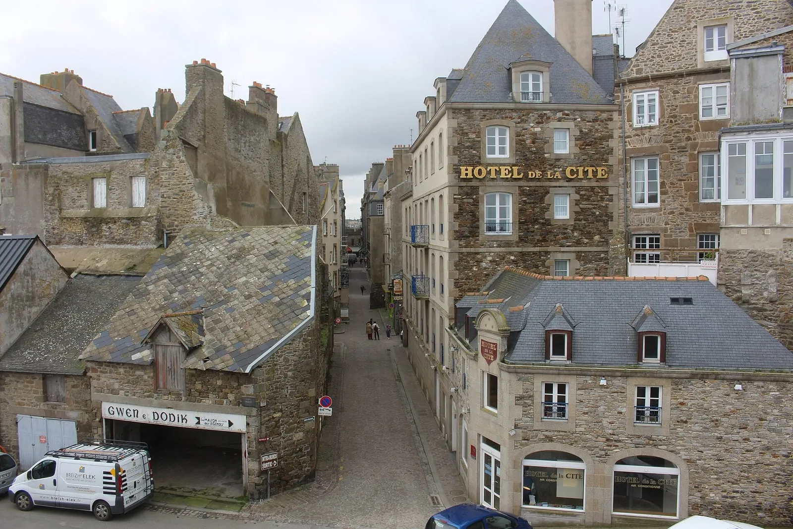
Then Intra-Muros, off the main drags. Rue Broussais and Rue Porcon hold the terraces and the shops; two streets further on, the town becomes a town again. Saint-Vincent cathedral, Chateaubriand’s birthplace, the lanes towards Rue Sainte-Barbe.
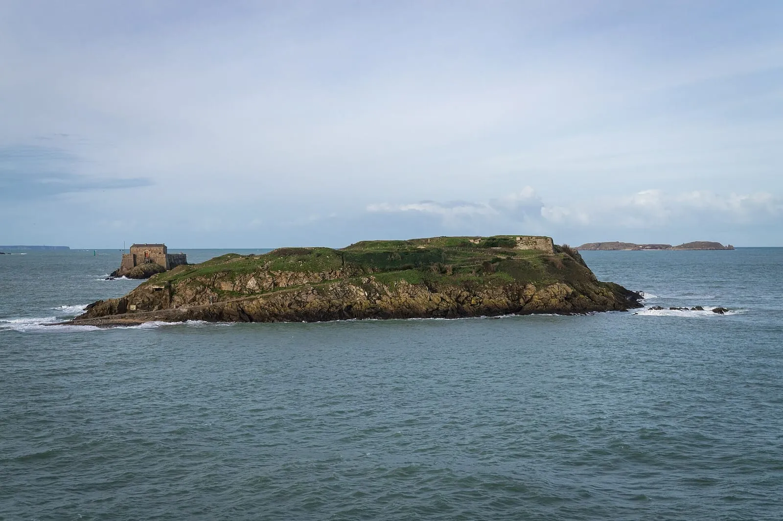
Around low water: the Grand Bé. This is the moment not to miss. The causeway uncovers from Bon-Secours beach, you walk across dry-shod, and climb to Chateaubriand’s grave facing the open sea. The Petit Bé and its fort come next, slightly further out, on a shorter window. Everything you need to know about reaching the islands — and the warning that comes with it: leave as soon as the tide turns, without arguing about it, because the flood comes in fast and the causeway disappears.
Late in the day: Bon-Secours beach and its seawater pool if the tide allows, or the Môle des Noires for sunset.
Day 2 — the foreshore, the Sillon, and an escape
The morning, depending on the tide. If low water falls in the morning, this is your foreshore day: shellfish foraging on the rocks at Rothéneuf or La Varde, or simply walking on uncovered sand that stretches hundreds of metres on a big coefficient. Our what to do at low tide page lists the spots.
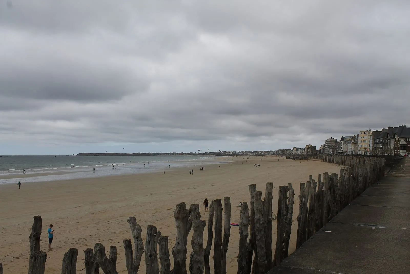
If instead it is high water, take the Sillon the other way: the sea wall, the breakwater posts driven into the sand, and the beach at Rochebonne at the far end.
The afternoon: get out of the walled city. Three options within thirty minutes, depending on what appeals.
- Dinard, on the little ferry that crosses the Rance in ten minutes: Belle Époque villas, the Clair de Lune promenade, and the best view there is of Saint-Malo — head on.
- Saint-Servan, on foot along the coast path: the Solidor tower, the Cité d’Aleth and its headland circuit, far quieter than Intra-Muros.
- Rothéneuf, for the carved rocks and the inlet, if you have a car or a bike.
The surrounding area offers more, but not on a two-day trip.
If you have three days
The third day is not for spreading thin: give it to one excursion, chosen by appetite.
Mont-Saint-Michel is an hour away by road or bus and takes the whole day. Our page on getting to Mont-Saint-Michel from Saint-Malo covers the options — and the tide matters there even more than it does in Saint-Malo.
Cancale for oysters and the Pointe du Grouin, the Rance valley for maritime countryside, Cap Fréhel and Fort-la-Latte for the cliffs: each fills a day, none fits in half of one.
An extra day is also the margin that lets you catch the right tide for the islands, if the calendar happened to put them out of reach on your first two.
Getting around, and getting there
Saint-Malo works very well on foot: everything from Intra-Muros to Rochebonne is walkable, and the little ferry covers the Dinard side. The car is mainly a problem — parking around the walled city is the friction point of any stay. Our getting to Saint-Malo page covers the options, trains included.
To round out the visit, guided walks of the corsair city and boat trips around the bay leave from Intra-Muros: see what is available.
Written and kept up to date by a Saint-Malo local in love with this coast. The story behind this guide

_%D0%A1%D0%B5%D0%BD-%D0%9C%D0%B0%D0%BB%D0%BE._Rue_Sainte_Barbe_-_panoramio.jpg)

Check the official tide times on maree.shom.fr ↗
Is two days enough for Saint-Malo?
For the walled city, the ramparts, a beach and a tidal island, yes, comfortably. Two days get tight if you also want Mont-Saint-Michel, Dinard or Cancale: allow three, and give the third day to a single excursion rather than splitting it.
Do you really need to plan around the tide times?
In Saint-Malo, yes, and it is what separates a good trip from a frustrating one. The Grand Bé, the Fort National and the Bon-Secours sea pool are only reachable on a falling and low tide, and the times shift by about fifty minutes each day. Check the official SHOM tide tables before fixing your plans.
What should you do first on arriving in Saint-Malo?
Walk the ramparts, as soon as the bags are down. It takes an hour, lays out the whole geography of the town at a glance, and shows you where the sea currently is. The rest of the plan follows from that.
When is the best time of year for two days in Saint-Malo?
May-June and September give the best balance of light, crowds and mild weather. Autumn and winter offer something else entirely: high tidal coefficients and storms, when the sea breaks over the Sillon sea wall — a spectacle to watch from a safe distance, behind shelter.