The tidal bore of Mont-Saint-Michel bay: the tide that runs up the river
Updated on 31 July 2026
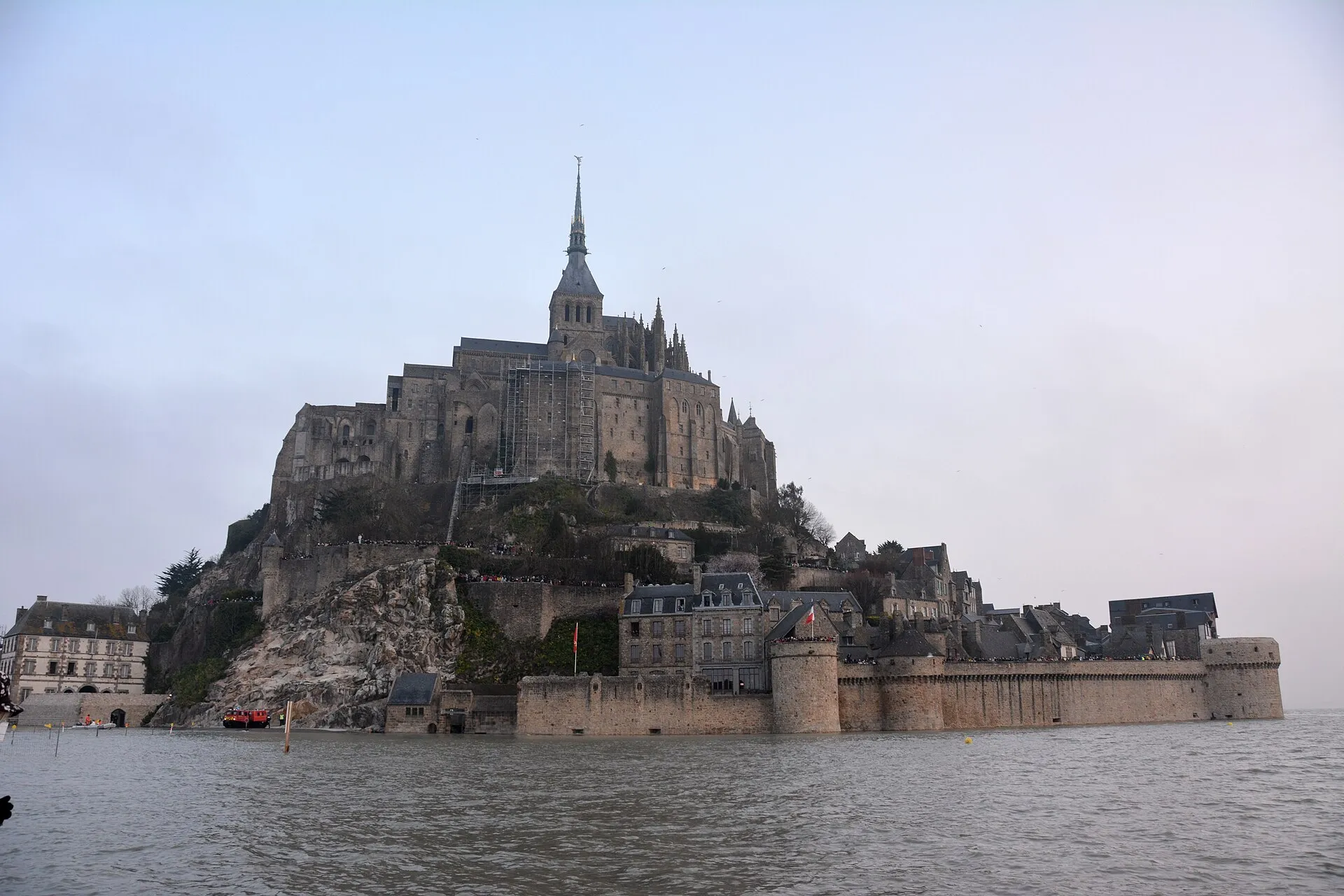

On big-coefficient days, the rising tide of Mont-Saint-Michel bay does more than ring the Mont: it runs up the rivers. The Sée and the Sélune, meandering lazily across the sands, suddenly meet a wave travelling against their current, pushing their flow back and racing upstream: the tidal bore, le mascaret. It is one of the bay’s most singular sights, an hour from Saint-Malo, and the most visible application of how the tides work: this page says where to watch it, when, and with what precautions.
The phenomenon: when the tide becomes a wave
A bore is born of an unequal encounter: a powerful flood (that of a giant tidal range) surging into a funnel-shaped estuary, against a shallow river flowing the other way. Too much water, too fast, too little room: the rising tide stops being a gradual lift of the level and steepens into a front, a step of water running up the river bed against the current, followed by a train of ripples.
The bay of Mont-Saint-Michel gathers the three conditions like few places on Earth: Europe’s largest tidal range, a dead-end head of bay, and two small coastal rivers, the Sée and the Sélune, wandering across almost flat sands. The front stays modest in height (a few dozen centimetres, sometimes more on the very biggest coefficients), but the show owes less to the wave’s size than to its strangeness: a river that starts flowing backwards.
Where to watch: the Grouin du Sud, and the fallback posts
The classic post is the Grouin du Sud, a wooded headland on the Norman shore, in the commune of Vains near Avranches, a little over an hour’s drive from Saint-Malo around the head of the bay. The point overlooks exactly the passage where the tidal front turns into the mouth of the Sée and the Sélune: you watch the bar form offshore, grow, and sweep past below your feet before vanishing upstream. On the big spring tide days, the regulars gather a good hour before the announced passage. The spot has its entry on our map.
The surroundings of Mont-Saint-Michel offer a variant: from the heights or the footbridge, you follow the flood front racing across the sands, less sharply drawn than at the Grouin du Sud, but in scenery like nowhere else. Our page on the Mont explains how to combine the two in the same spring tide day.
When: big-coefficient days, during the rise
No bore without a spring tide: the phenomenon needs a coefficient of at least about 90–95, and sharpens with every extra point. The above-100 episodes in the spring tide calendar are the real dates. The front passes during the rising tide, well before high water: the exact hour depends on the observation point and the day. Ask locally (the bay’s tourist offices publish the slots for the big dates) and check the official SHOM tide tables to time your trip; arriving early is part of the ritual, for the front does not come round twice.
The high-ground rule
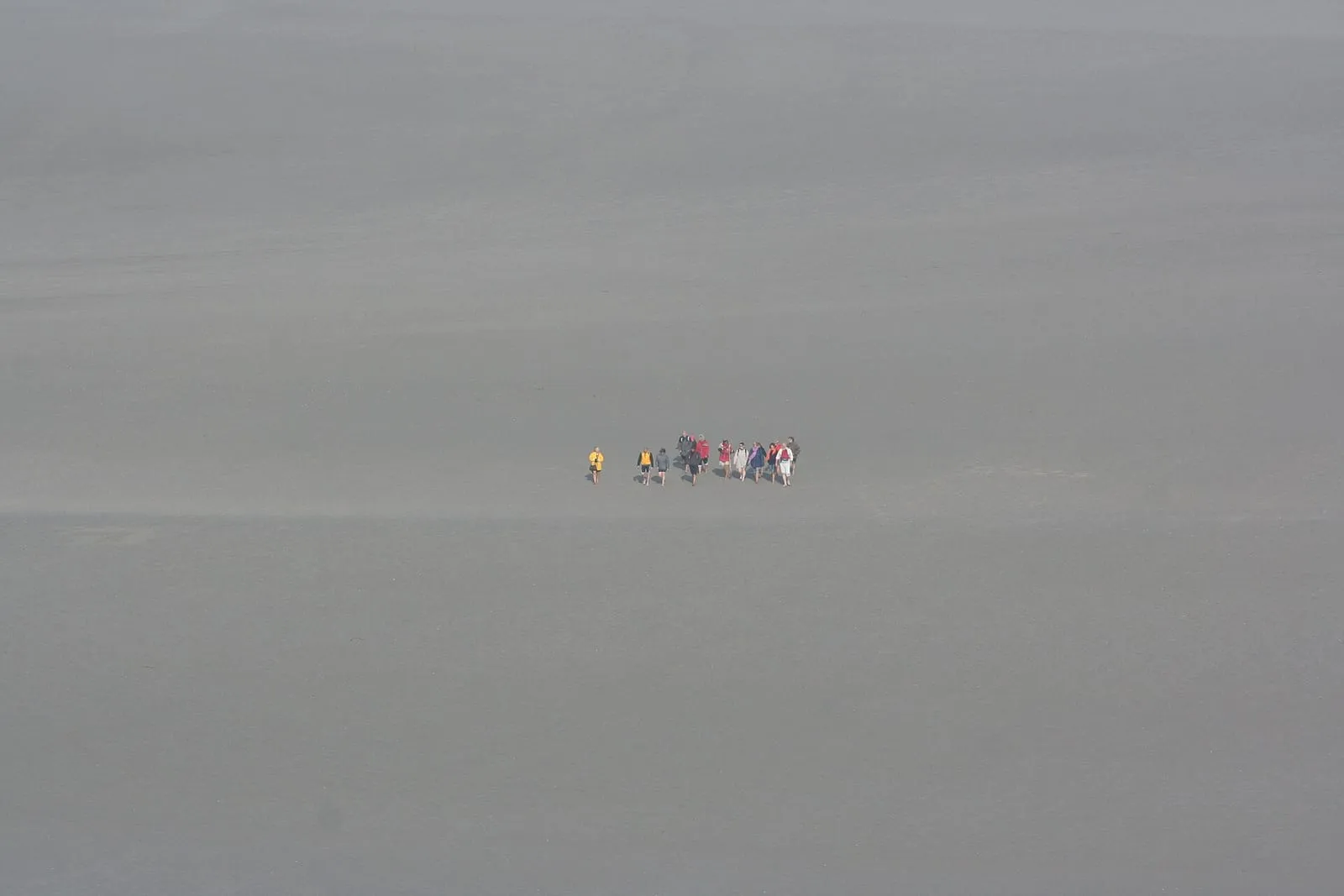
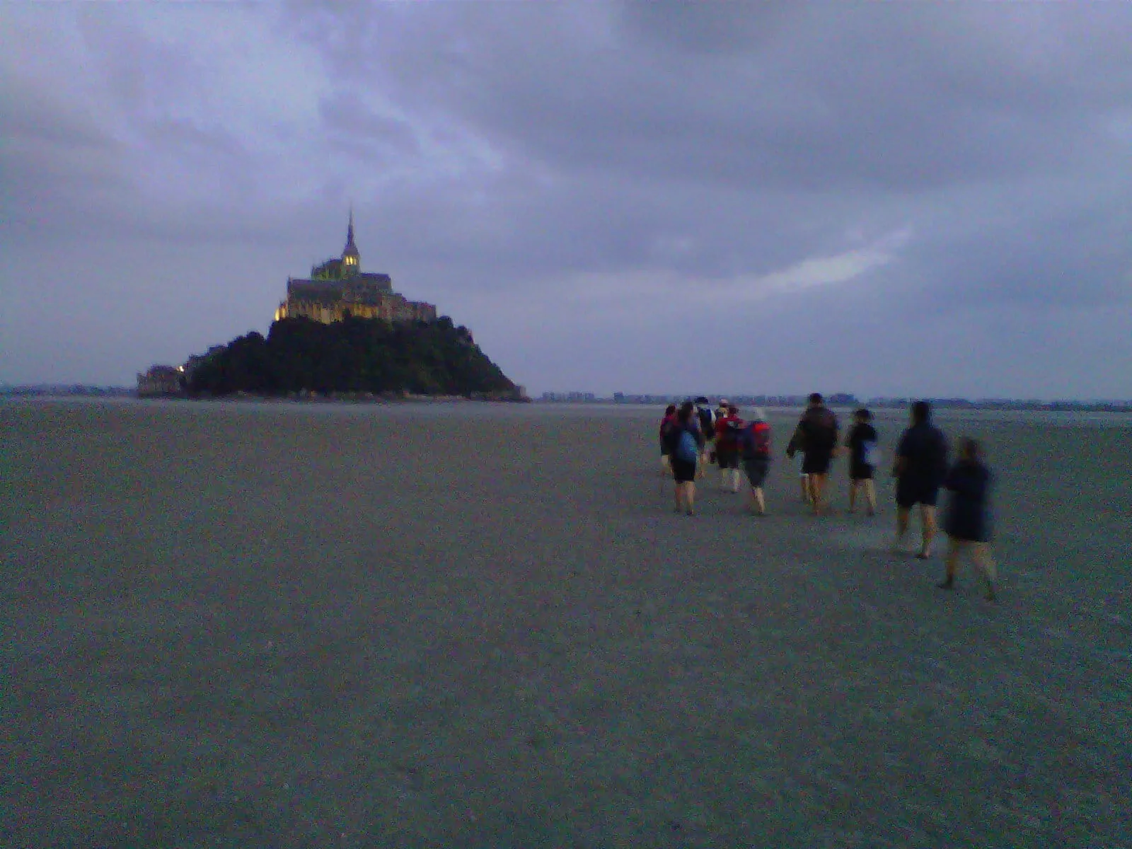
The bore is a show for the bank, not the foreshore. The front moves fast, fills the channels within minutes, and runs across sands where quicksand is no legend. Watch it from somewhere high and dry (the Grouin du Sud point, a raised bank), never from the river bed, the sandbanks or the channels, not even “just for a photo”. And the bay’s general rule applies more than ever: any outing onto the flats is made with a certified guide, all the more so on a spring tide day. This show is earned standing still, feet dry, which also happens to be where it looks best.
Written and kept up to date by a Saint-Malo local in love with this coast. The story behind this guide


The next spring tides
- 11–13 September 2026102autumn equinoxequinox
- 27–29 September 202699autumn equinoxequinox
- 10–12 October 202695autumn
What is a tidal bore?
A wave, or train of waves, that runs up a river against the current when the rising tide surges into its estuary. The phenomenon needs a very large tidal range, a funnel-shaped estuary and a shallow river: the bay of Mont-Saint-Michel ticks all three boxes, making it one of the few places in France where it can be watched regularly.
Where can you see the bore in Mont-Saint-Michel bay?
The classic post is the Grouin du Sud, on the Norman shore of the bay (commune of Vains, near Avranches): the headland overlooks the passage of the tidal front as it runs towards the mouth of the Sée and the Sélune. The phenomenon can also be watched from around the Mont: always from somewhere high and dry, never from the sands.
On which days does the bore happen?
Only on the big coefficients, in practice from about 90–95, and the sharper the higher the coefficient. The best dates follow our spring tide calendar, with the March and September equinoxes first. The front passes during the rise, well before high water: ask locally for the passage time and check the official SHOM tide tables.
Is the tidal bore dangerous?
Yes, for anyone in the wrong place: the tidal front moves fast, fills the channels within minutes and runs across sands where quicksand genuinely exists. Watch it from a high point on the bank, never from the river bed or the sandbanks. Any outing onto the bay's flats is made with a certified guide.