Fort National: the fort you visit at low tide
Updated on 31 July 2026
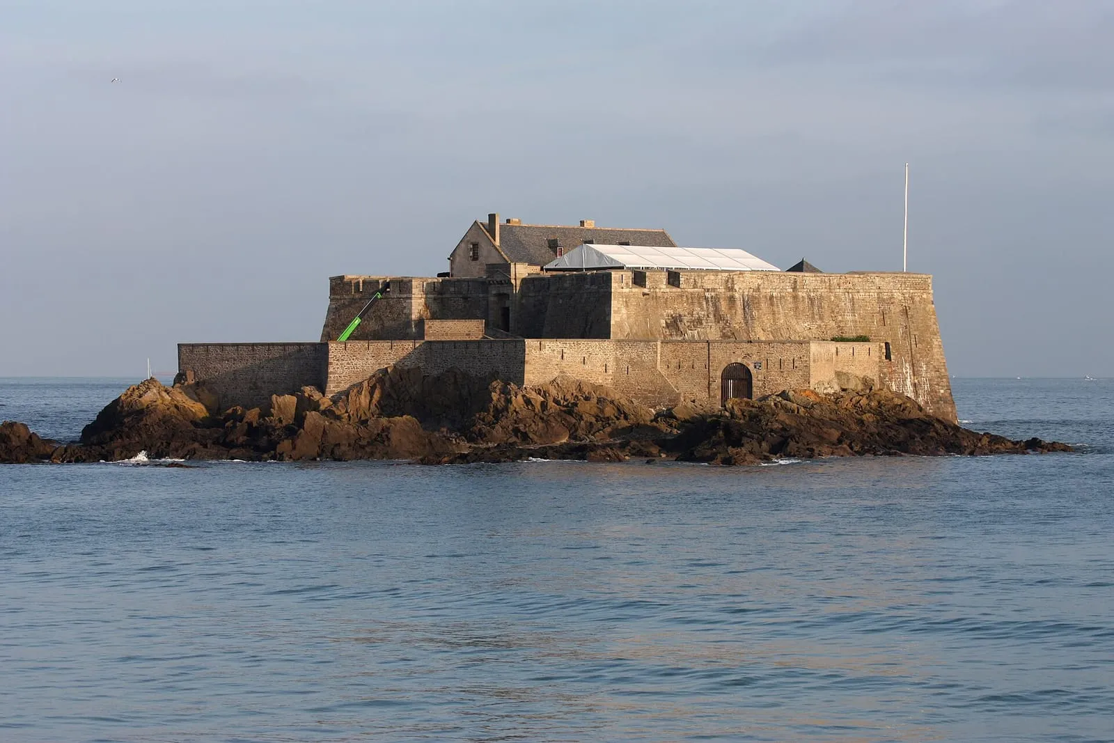

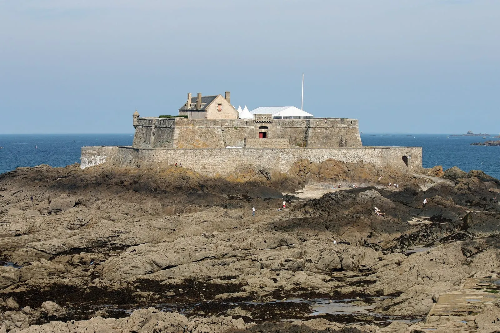
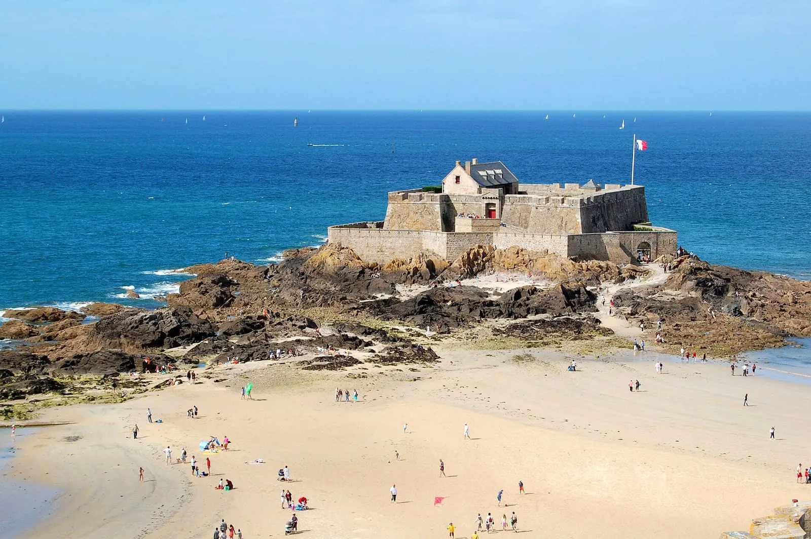
Twice a day, Fort National is an island; twice a day, a peninsula of sand ties it back to Saint-Malo. The peculiarity of this fort designed by Vauban in 1689: visiting it depends not on a ticket office but on the moon. You reach it on foot from Éventail beach, when low tide uncovers the crossing, and that constraint is part of the visit.
The lock on the roadstead
On its Islet rock, facing the ramparts, the fort had one simple role: to cross fire with the Petit Bé and La Conchée and deny the roadstead to any enemy squadron. The scheme was conceived by Vauban and executed by Saint-Malo engineer Siméon Garangeau, in granite from the Chausey islands. The system was never broken: Saint-Malo was never taken from the sea. The place also has its dark page, which the visit tells with restraint: in August 1944, during the siege of the town, the occupiers held Saint-Malo hostages here under the bombardments.
From the wall walk, the reward is immediate: the ramparts seen from the sea, the open bay, the Sillon stretching away. It is the exact reverse shot of the view everyone photographs from the ramparts.
Visiting to the tide’s timetable
The ritual never changes: the flag flying from the keep signals that the fort is open, in season and at low tide only. You cross from Éventail beach (a few hundred metres of firm sand), take the visit (the guide tells of Vauban, the corsairs and 1944), and walk back down before the flood closes the passage. On big coefficients the crossing is wide and comfortable; at neap tides the window tightens.
The safety rule is that of all the bay’s tidal islands, and it admits no exception: official SHOM times on the day itself, the crossing at the start of the low-water window, the return the moment the sea turns. The flood rings the rock from both sides at once and closes the access in under an hour. Every year, lingering visitors find out the hard way.
The fort from the shore, at any hour
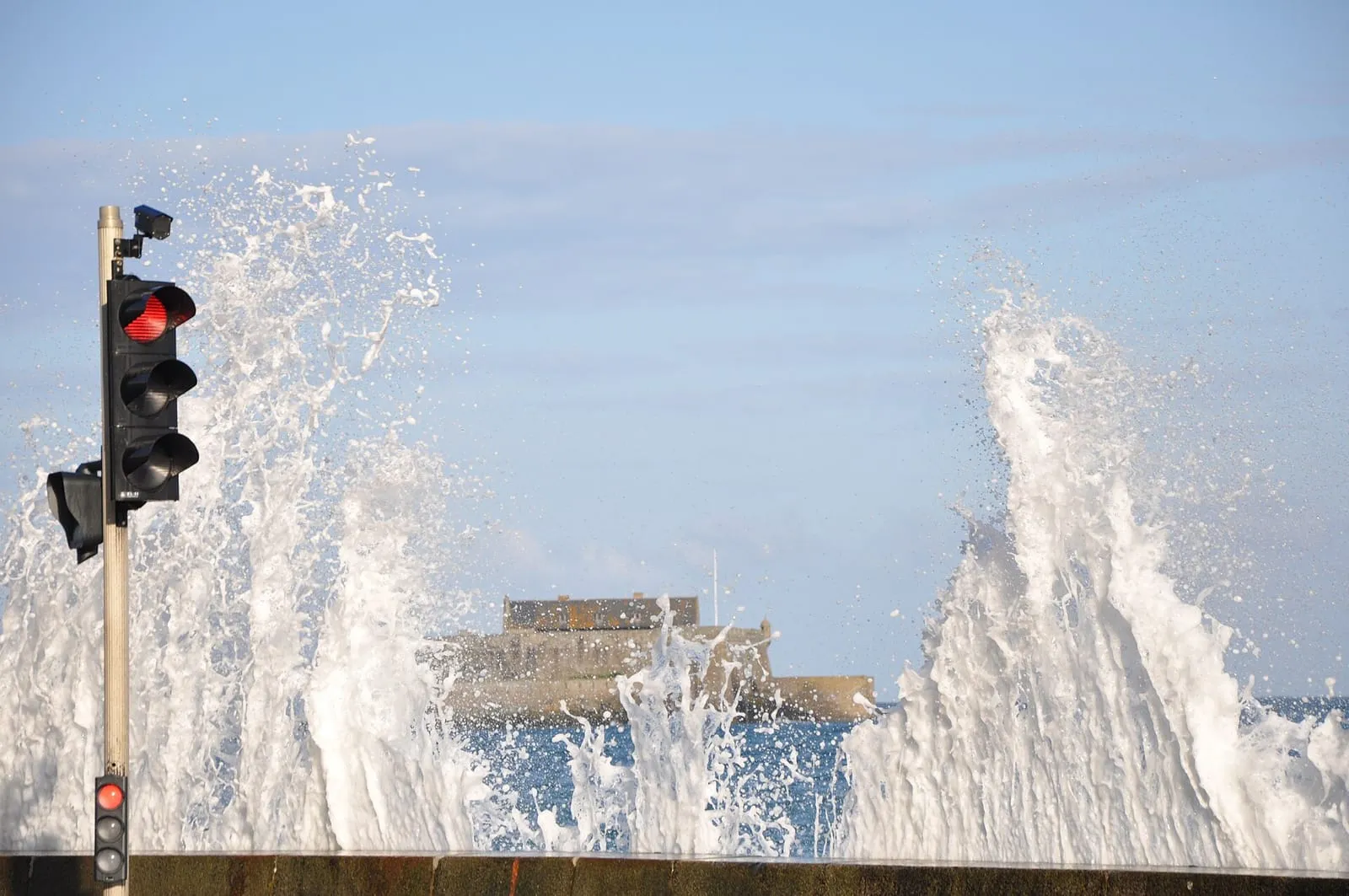
No suitable tide during your stay? The fort rewards from land too, and it changes face with the hour: set on bare sand at low water, wreathed in foam at a big-coefficient high water. Seen from the ramparts, it then makes a fine foreground for the leaping sea. In the evening, its silhouette closes the Sillon’s perspective against the sunset. The fort’s entry, exact position and official website are on the interactive map.
Written and kept up to date by a Saint-Malo local in love with this coast. The story behind this guide



Check the official tide times on maree.shom.fr ↗
How do you get to Fort National?
On foot only, at low tide, from Éventail beach below the castle: a few hundred metres of uncovered sand lead to the rock. The crossing only exists around low water. Check the official SHOM tide times on the day and head back as soon as the sea turns; the flood closes the access in under an hour.
When is the fort open to visitors?
In season and at low tide only: the flag flying from the keep signals that the guided visit is open. Allow for the crossing there and back on top of the visit itself, and place the whole outing at the start of the low-water window, never at the end. The fort's official website publishes the day's slots.
Who built Fort National?
Vauban designed it in 1689 and Saint-Malo engineer Siméon Garangeau built it, in Chausey granite, on the Islet rock. Together with the Petit Bé and La Conchée it locked the roadstead, crossing fire in front of the ramparts. The fort also has its dark hour: in August 1944, during the siege of the town, the occupiers held Saint-Malo hostages here.