The ramparts of Saint-Malo: the full circuit, tide included
Updated on 31 July 2026
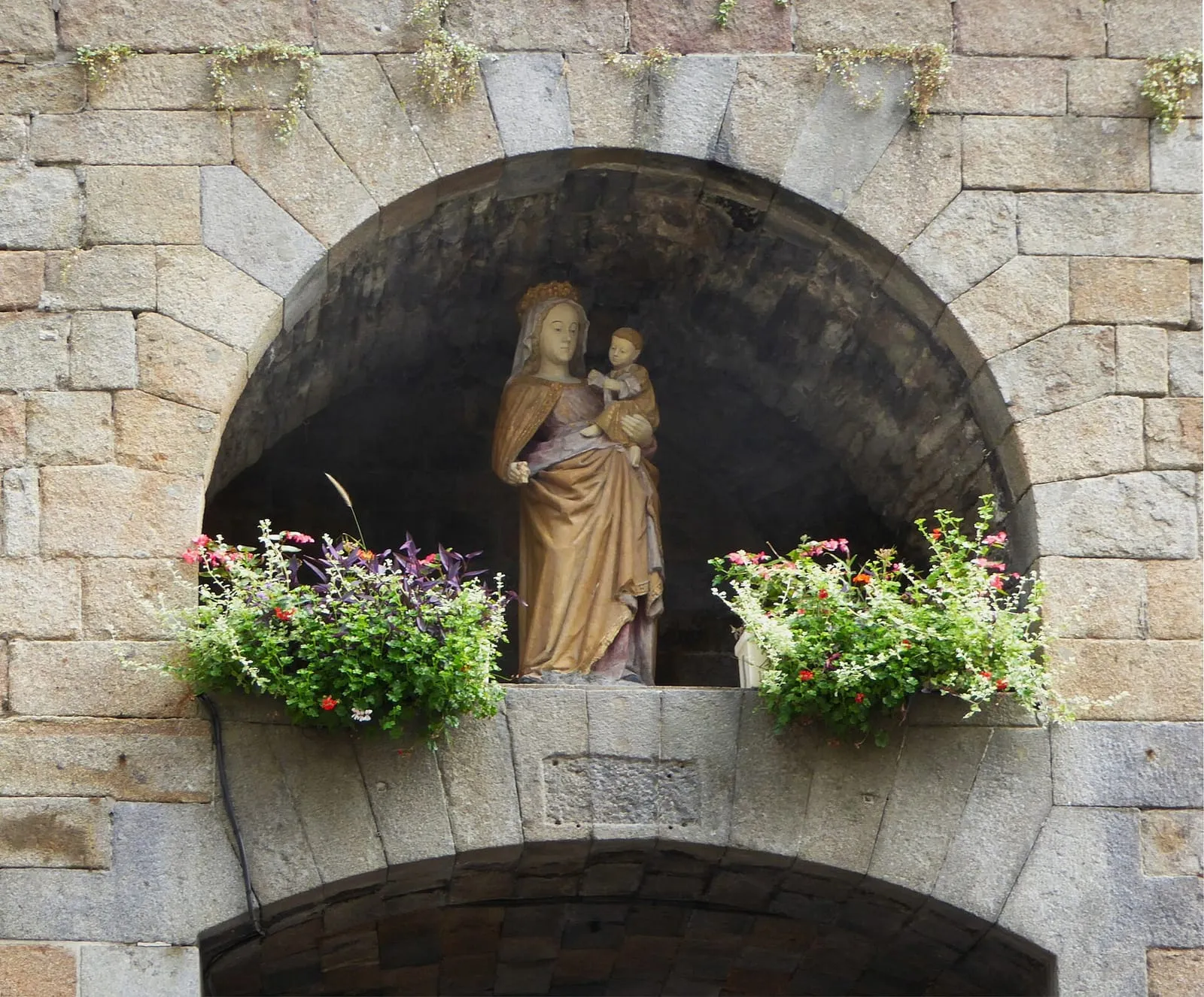
.jpg)
There are monuments you visit and monuments you inhabit: the ramparts of Saint-Malo are of the second kind. Free, open day and night, their two kilometres of wall walk are at once the locals’ promenade, the visitors’ belvedere and the safest tide observation post on the whole coast.
Two kilometres, two towns
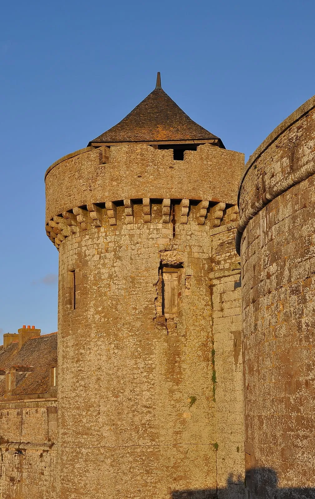
The loop encloses the walled city and tells two worlds at once. On the land side, the tall granite façades of the shipowners’ mansions, rebuilt identically after 1944: the wall walk is the best place to grasp that tour de force. On the sea side, everything that makes the bay: Fort National set on sand or ringed by water depending on the hour, the Grand Bé and Petit Bé, the Bon-Secours pool, Dinard opposite, the môle des Noires and the harbour mouth. The bastions pace the walk: Hollande for the wide angle over the roadstead, the Bidouane tower at the north-west corner, the castle esplanade to finish.
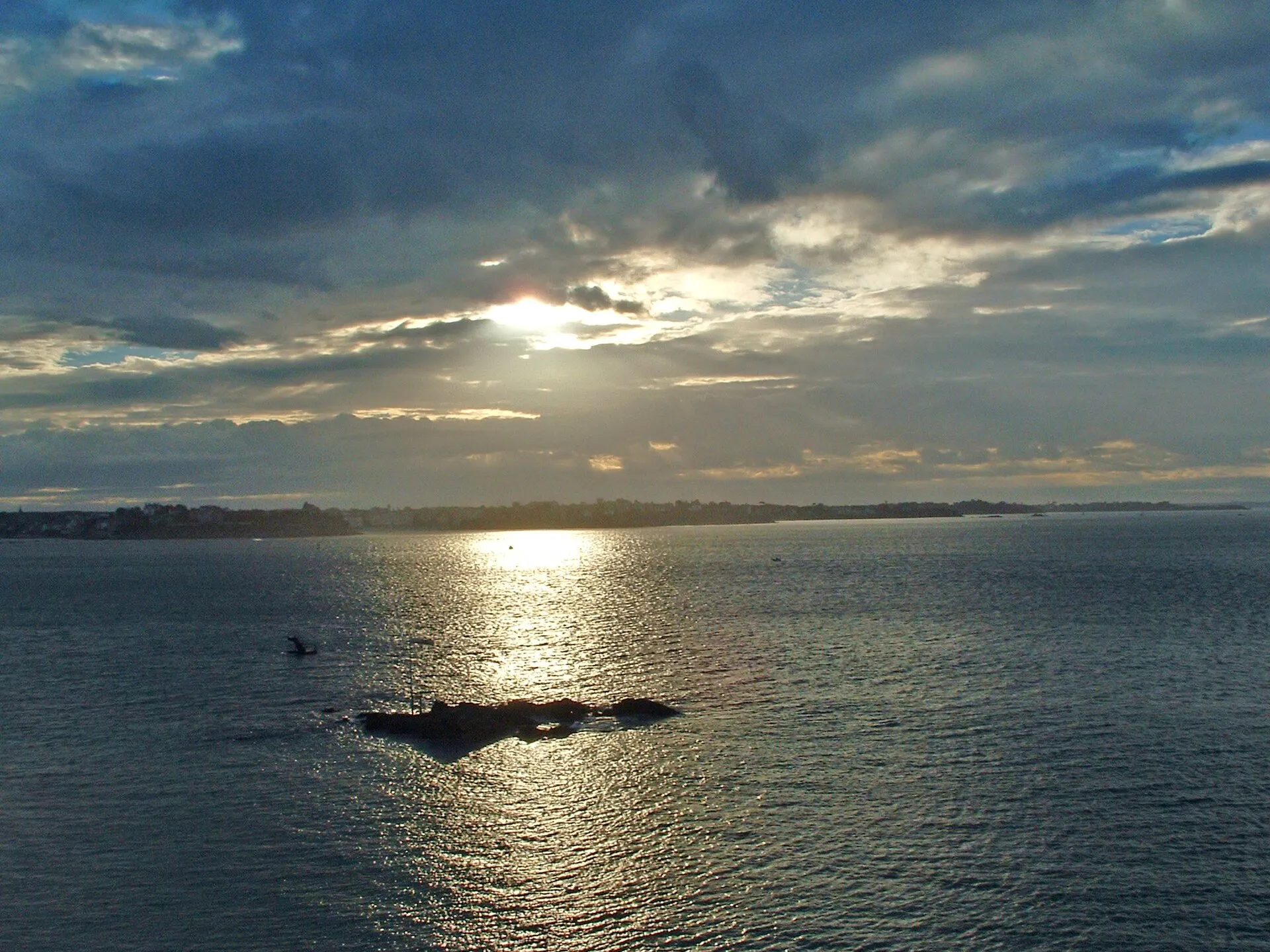
Direction matters: setting off from the Saint-Vincent gate towards the castle keeps the sea on your right and the morning sun at your back; in the evening, reverse it and walk into the sunset, the roadstead ablaze on the Dinard side.
The balcony of the tides
The ramparts, enlarged in the 18th century by engineer Garangeau, have never stopped doing their job: holding the sea. That is what makes them the ideal spring-tide post: high up and sheltered, exactly what safety demands. At a big-coefficient high water, the flood reaches for its last centimetres against the walls and the islets float, cut off from the world; if swell joins in, the plumes over Fort National and the breakwater are watched from here without catching a drop. At low tide, the same balcony overlooks a desert of sand where silhouettes walk out to the islets.
The connoisseurs’ slot: the half-hour before high water, as the level finishes rising. On storm days, the loop is best shortened on the seaward side, out of the spray. The hour of high water shifts every day: check the official SHOM tide times before planning your loop.
In practice
Access stairs at the main gates (Saint-Vincent, Saint-Thomas, Dinan…), a loop of a good hour without pauses, pushchairs possible but stairs at the accesses, care with children at the embrasures: the parapets are those of a monument, not a playground. The walk pairs naturally with the heritage of Intra-Muros and, at low tide, with the crossing to Fort National or the Grand Bé. Entry, access and position on the interactive map.
Written and kept up to date by a Saint-Malo local in love with this coast. The story behind this guide

.jpg)


Check the official tide times on maree.shom.fr ↗
Is the ramparts walk free?
Yes: the wall walk is free and open permanently, day and night. Allow a good hour for the full loop (about two kilometres), and more with pauses at the bastions. Access stairs stand at the main gates, Porte Saint-Vincent first among them.
Which way round, and at what time?
Setting off from the Saint-Vincent gate towards the castle keeps the sea on your right and the morning sun at your back; reverse in the evening, when the sunset sets the roadstead alight on the Dinard side. The best slot: the half-hour before a big-coefficient high water, as the flood reaches for its last centimetres against the walls.
Are the ramparts original?
Essentially yes: enlarged in the 18th century under engineer Garangeau, they came through the 1944 bombardments that destroyed four-fifths of the walled town. It is from their wall walk that you take the measure of the identical reconstruction, and of the site's implacable maritime logic.