The Saint-Malo to Jersey ferry: a day trip to the Channel Islands
Updated on 31 July 2026
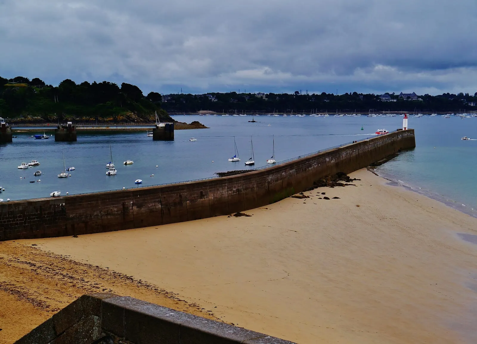

Of all the outings you can make from Saint-Malo, one changes worlds in a single morning: the ferry to Jersey. Around an hour and a half at sea, and you step ashore on an island where you pay in pounds sterling, drive on the left, and walk streets that carry French names while life around you runs in English. Above all (and this is what this site cares about) you land on an island where the sea rises and falls with the same extravagance as it does below the ramparts: Jersey shares the Norman-Breton gulf with Saint-Malo, and its giant tidal range with it. The day trip to St Helier is a Saint-Malo classic; this page sets it up, from the boarding quay to the choice of date.
Departure: the ferry terminal and the show of leaving harbour
Sailings for the Channel Islands leave from the Bourse ferry terminal on the Naye basin, some ten minutes’ walk from the Saint-Vincent gate. Our page on getting to Saint-Malo covers reaching the port and parking there. Allow a proper margin: boarding works much like a flight, checks included, and the companies serving the islands state their check-in deadlines on their own websites.
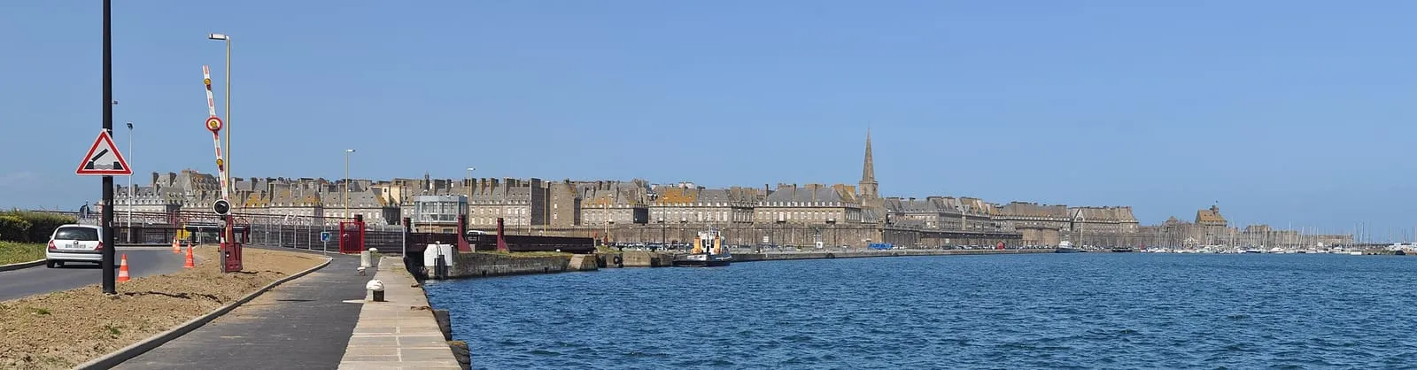
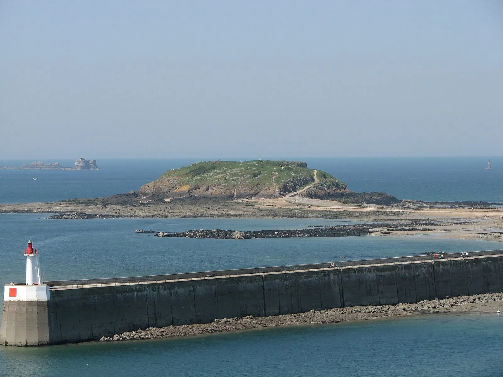
Leaving harbour is worth part of the fare on its own. The ship eases off the quay, threads between the Aleth headland and the ramparts, then rounds the Môle des Noires, the long granite breakwater guarding the harbour entrance. Out to seaward the Fort National, the Grand Bé and the Petit Bé file past in turn, until the town shrinks to a grey silhouette resting on the horizon. Stay on deck for that quarter of an hour: it is the finest view of Saint-Malo, and it comes included with the crossing. The rest of the passage has its own interest: halfway across lies the Minquiers plateau, a maze of reefs that the tide uncovers and drowns twice a day, a foretaste of what awaits you on the island.
St Helier: a pocket-sized capital
The ferry runs into St Aubin’s Bay and berths at St Helier, Jersey’s capital and the island’s only real town. Everything is walkable: the shopping streets around King Street, the covered market with its Victorian ironwork, the pubs where lunch is ordered at the bar, the granite frontages that could almost belong across the water in Brittany. The pleasure of the place lies in that blend: Norman stone and topography, thoroughly British daily life. It goes right down to the banknotes, for Jersey issues its own pound, circulating alongside sterling from the mainland. Between two sailings the day fits comfortably without hurrying: the seafront, the market, a pub lunch and the walk out to the castle combine with ease.
Elizabeth Castle, on the tide’s timetable
St Helier’s main monument obeys a rule every visitor to Saint-Malo already knows. Elizabeth Castle stands on an islet in St Aubin’s Bay: at low tide you reach it on foot along an uncovered causeway; once the flood covers it, the link is by boat. The tide therefore writes the day’s programme, exactly as at the Grand Bé. The same caution applies: never start across the causeway on a rising tide, ask on the spot for the crossing windows, and keep in mind the rule of turning back at the turn of the tide that holds on every foreshore of the gulf.
The island that doubles in size at low tide
Here is the real reason to plan this trip against the tide calendar. Jersey has one of the largest tidal ranges in the world, comparable to Saint-Malo’s: the island sits in the same Norman-Breton funnel, whose mechanics are explained here. On the big spring tides the sea withdraws so far that the island almost doubles in area: the south-east coast dries out for kilometres into a landscape of reefs, pools and sand that islanders like to call lunar. On the right tides, guided walks head out to the watchtowers standing far out on that foreshore. A local guide is essential, because the flood returns fast and the channels fill before the flats do, as they do everywhere in the gulf.
Choosing your date: think in coefficients
A day in Jersey is therefore booked in two steps: sailing times with the companies, the date with the spring tide calendar. A high-coefficient day gives you the best of both shores: Jersey’s giant foreshore at low water and, on the way home, high water against the ramparts. The biggest coefficients cluster around the March and September equinoxes, which makes those weeks the natural first choice. For timing the day itself, the source is the same as in Saint-Malo: the official SHOM tide tables for the French coast, and the local tide services once on the island. Never a guess from memory.
Practicalities: tickets, documents, extensions
Ticketing goes through the companies serving the islands. Their websites and the Saint-Malo port site list the season’s sailings. On documents, one prudent rule only: Jersey lies outside the European Union and the Schengen area, and entry requirements evolve; check the current rules on gov.je and with the French authorities before you book, for every traveller. And the archipelago does not stop at Jersey: Guernsey, further north, suits the same spirit of escape, while Chausey, a French archipelago with a record tidal range, offers a wilder version of the same sea. Ask at the port about the current sailings: these islands are best earned one at a time.
Written and kept up to date by a Saint-Malo local in love with this coast. The story behind this guide


Check the official tide times on maree.shom.fr ↗
How long is the Saint-Malo to Jersey crossing?
In the order of an hour and a half, depending on the vessel and the state of the sea. Exact sailing times change from season to season: check with the companies serving the islands and the Saint-Malo port website when you book.
Do I need a passport to visit Jersey?
Jersey is a British Crown Dependency, outside the European Union and the Schengen area, and document requirements evolve. Check the current rules before booking, on gov.je for the Jersey side and with the French authorities for the departure side.
Can you do Jersey as a day return from Saint-Malo?
Yes, that is the classic formula: an early sailing, a full day in St Helier, an evening return. Whether it works on a given date depends on the season's timetable, so confirm with the companies that your chosen day actually offers a same-day return.
What currency is used in Jersey?
The pound sterling. Jersey issues its own notes and coins, which circulate alongside British notes, and cards are accepted almost everywhere. Just remember that euros are not the local currency.
Why are the tides so big in Jersey?
Because the island sits in the same Norman-Breton gulf as Saint-Malo: the funnel effect that gives the ramparts their giant tides works at full strength around Jersey, with a comparable range. At a big spring low tide the island gains an immense area from the sea: it almost doubles in size.