Cancale oyster beds
Cancale – Pointe du Grouin
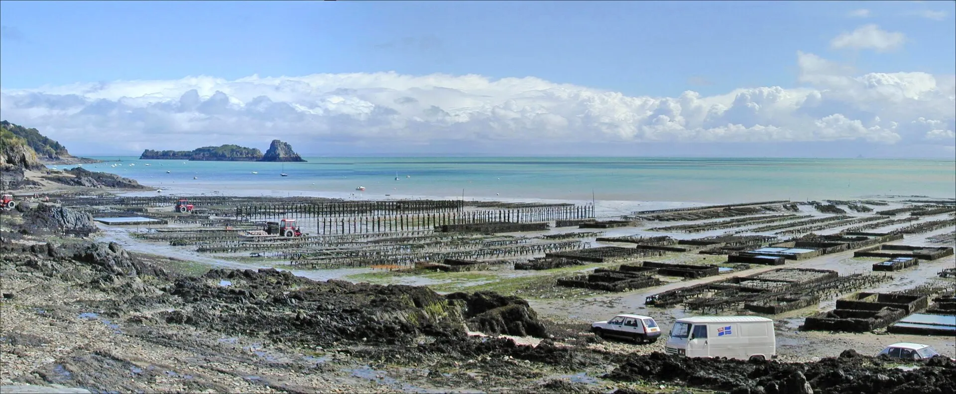
As soon as the tide falls, the La Houle foreshore turns into a chessboard: hundreds of oyster beds aligned to the horizon, with tractors and barges working between the trestles. The best moment is low water on a big tide, when the whole grid stands uncovered; take in the show from the jetty or the Hock path, then taste it at the market below the lighthouse, facing the beds. A firm warning: the beds are private workings. You never take anything from them, and you never wander among the trestles, where the mud traps your feet and the flood comes back fast. Check the tide times before any walk out on the foreshore.
Shellfish foraging in Saint-Malo, by the coefficients
Cancale, La Houle harbour
Cancale – Pointe du Grouin
Brittany's oyster capital, whose beds grid the foreshore as far as the eye can see whenever the tide falls. It is a farmed landscape drawn entirely by the tide, read at a glance from the quays. At the oyster market by the lighthouse you eat standing up facing the bay, shells returned to the foreshore, with Mont-Saint-Michel as the backdrop. Cancale's flat oyster supplied the table of Louis XIV, who had it carried to Versailles. If the shore tempts you, check the official tide times and head back as soon as the sea rises: the flood comes in fast at the head of the bay.
Du Guesclin cove
Cancale – Pointe du Grouin
A wide cove of pale sand backed by its dune, guarded in the middle by the fortified Du Guesclin island, on the coast road to Cancale. The tide reinvents the scenery here twice a day. An undeveloped beach in a protected natural site: no sea wall, no shops, parking is set back from the shore. Lifeguarded in summer on the western side. At low tide you can walk round the island on the sand, without lingering once the sea starts to rise; at high tide the cove becomes a marine amphitheatre again, the island seemingly afloat.
Du Guesclin island
Cancale – Pointe du Grouin
Between Rothéneuf and Cancale, this fortified rock set in the middle of its cove is reached dry-shod at low tide, across the sand. At high water it becomes an island again, best admired from the beach. A castle was held here in the 14th century by the family of Constable Bertrand du Guesclin; the present 18th-century fort was Léo Ferré's home from 1959 to 1968. He wrote several of his songs here. The island is private: no visits, but the walk round the rock and the cove are worth the detour on their own. Watch the rising tide, which closes the crossing: check the tide times before walking out, and turn back as soon as the sea begins to gain.
⚠ low tide only
Hock headland
Cancale – Pointe du Grouin
Cancale's balcony: just above La Houle harbour, the Hock headland overlooks the chessboard of oyster beds and the whole bay of Mont-Saint-Michel, with the Mont in the line of sight on a clear day. It is the best post for following the tide's to-and-fro across the oyster grounds: high water drowns the trestles and hands the scene back to the open sea, low water returns it to sea-farming, ruled in straight lines. The ideal is to frame mid-tide, when the water's movement can almost be watched in real time. The coastal path crosses the point, between the war memorial and the lanes dropping to La Houle harbour.
La Touesse beach (Saint-Coulomb)
Cancale – Pointe du Grouin
Between the Pointe du Meinga and the Du Guesclin cove, a sheltered fine-sand beach, quieter than its Saint-Malo neighbours. This is Colette's shore: from her villa at Rozven, just above, she wrote among others Le Blé en herbe (1923), whose plot plays out on these strands. Coves and rocks at both ends, pools to explore at low tide (the hour of children with shrimping nets), swimming at its best on the flood, and the coast path running along above. The place keeps something of the insouciance of writers' summers, especially off season, when the tide redraws the beach for almost no one.
La Ville Bague malouinière
Cancale – Pointe du Grouin
In Saint-Coulomb, at the heart of the Clos-Poulet, one of the most complete malouinières there is: a main house of 1715, a chapel, a dovecote and walled gardens compose the exact picture of the shipowners' countryside, a league from their counting houses. Far enough from the port to breathe, close enough to keep an eye on business. In summer the guided tour recounts wars and sea fortunes among the furniture and keepsakes of the families who followed one another here, and you leave with a clear sense of how these merchant dynasties lived. Check visiting days and times according to the season.
Pointe du Grouin
Cancale – Pointe du Grouin
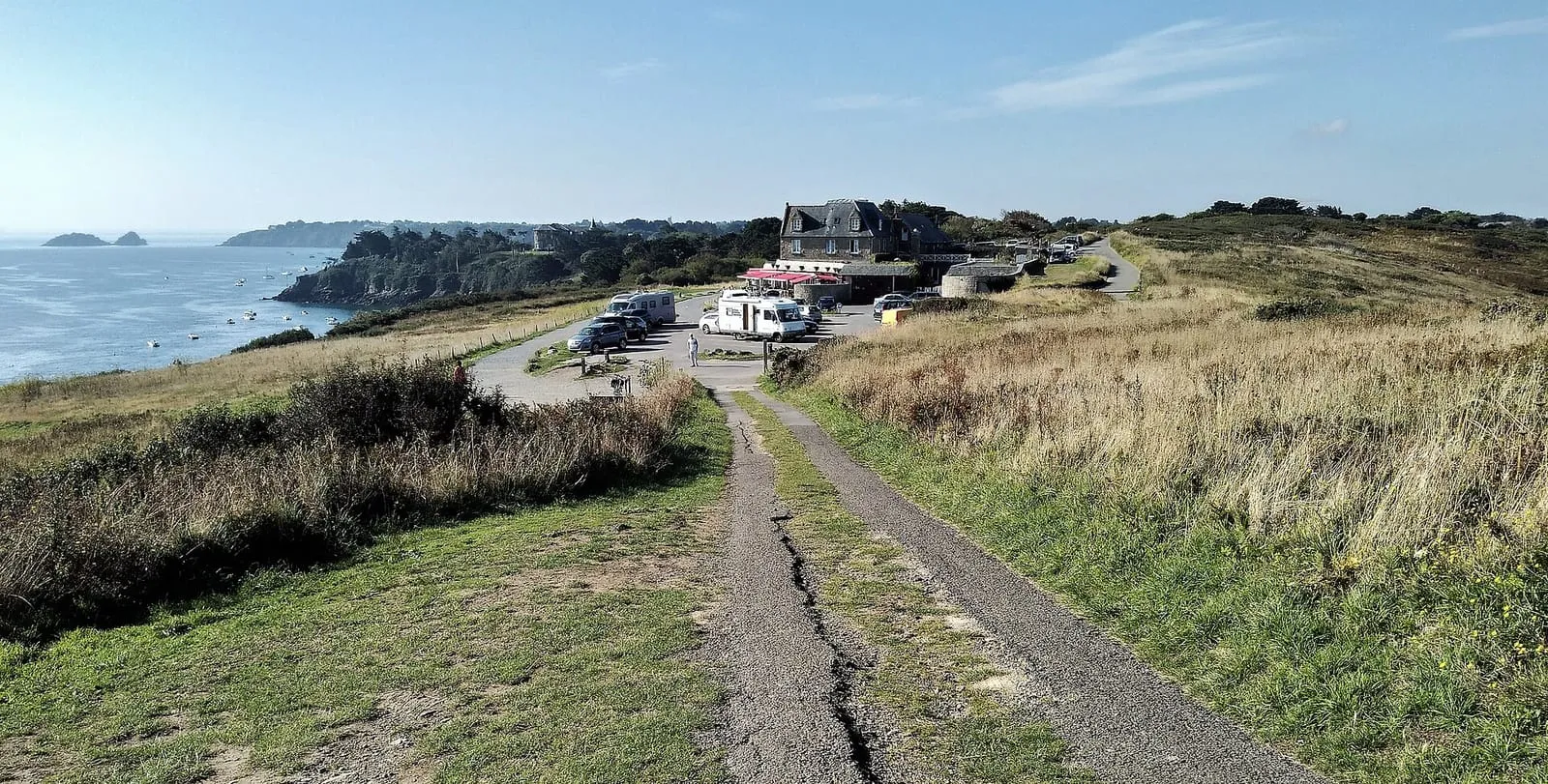
The spur dividing the Saint-Malo coast from the bay of Mont-Saint-Michel, facing the Île des Landes and its bird reserve. In clear weather the view runs from Cap Fréhel to Mont-Saint-Michel. The start line of the Route du Rhum is laid offshore from here every four years. At spring tides the current accelerates into a genuine tide race between the point and the island, spectacular from the path and feared by sailors. Come at the hours of strongest current for the spectacle, and keep to the marked coastal paths: the cliffs drop straight into the sea.
The Pointe du Grouin: between Mont-Saint-Michel bay and the Emerald Coast
Port-Mer beach
Cancale – Pointe du Grouin
Cancale's family beach, in the sheltered cove between the Grouin headland and the town: gently shelving sand, a sailing school, cafés at the water's edge and a view of Rimains island and its fort. The tide sets the rhythm of the day here: at low water the cove uncovers widely and the dinghies sit on the sand waiting for the flood; on the rising tide the water sweeps back over sun-warmed sand, the best moment for a swim. It is also a good starting point for the coastal footpath towards the Grouin: allow a short hour's walk along the clifftops, facing the open sea.
Rimains island
Cancale – Pointe du Grouin
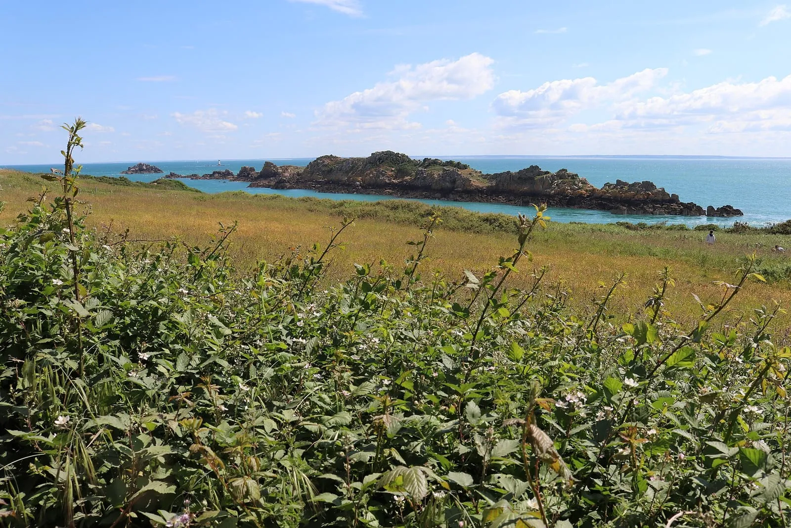
Set before Cancale, Rimains island carries a late-18th-century fort, built to plans in the Vauban tradition to lock the bay against the English. The island is private and cannot be visited, yet with the oyster beds it forms the foreground of almost every view of Cancale. The picture changes with the tide: at low water it seems to float on the uncovered oyster trestles; at high water it becomes fully an island again. The finest moment is still sunrise over the bay, from the Épi slipway or the path towards Port-Mer. Admire it from the shore, without wandering out across the foreshore towards the island.
Verger cove
Cancale – Pointe du Grouin
Between the Grouin and Nid headlands, the Verger cove is Cancale's great wild beach: an arc of sand backed by protected dunes, with no sea wall or seafront, watched over by the Notre-Dame du Verger chapel where the Newfoundland fishermen came to pray before each campaign. North-facing, it takes the swell of every blow. Fine to watch at high water, but a beach to swim from with care at all times. At low tide the foreshore stretches from one headland to the other below the coastal path: the hour for long walks on firm sand, in raking light. You come here for space, not for facilities.
_(7190953138).jpg)

_-_01.jpg)